

When it comes to land development, construction, or property management, understanding the physical features of a site is essential. One of the most valuable tools in this process is the topographical land survey. This type of survey provides a detailed map of the land’s natural and man-made features, helping planners, engineers, and developers make informed decisions.
- What Is a Topographical Land Survey?
- How Are Topographical Land Surveys Conducted?
- Why Are Topographical Land Surveys Important?
- 1. Accurate Land Understanding
- 2. Informed Planning and Design
- 3. Cost and Risk Reduction
- 4. Regulatory Compliance
- 5. Supports Infrastructure Development
- 6. Environmental Protection
- Who Needs a Topographical Land Survey?
- What Makes a Good Topographical Land Survey?
- Conclusion
In this article, we will explain what topographical land surveys are, how they are conducted, and why they are crucial for a wide range of projects.
What Is a Topographical Land Survey?
A topographical land survey—often simply called a topo survey—is a detailed mapping of a land parcel’s surface features. Unlike boundary surveys that focus on property lines, topo surveys record the shape, elevation, and characteristics of the land itself.
This includes both natural features, such as:
- Hills and valleys
- Rivers, streams, and ponds
- Trees, vegetation, and rock formations
and man-made features, like:
- Roads and pathways
- Buildings and fences
- Utility lines, poles, and manholes
- Retaining walls and drainage systems
The survey results in a detailed contour map showing elevation changes with contour lines, symbols for features, and precise measurements of distances and angles.
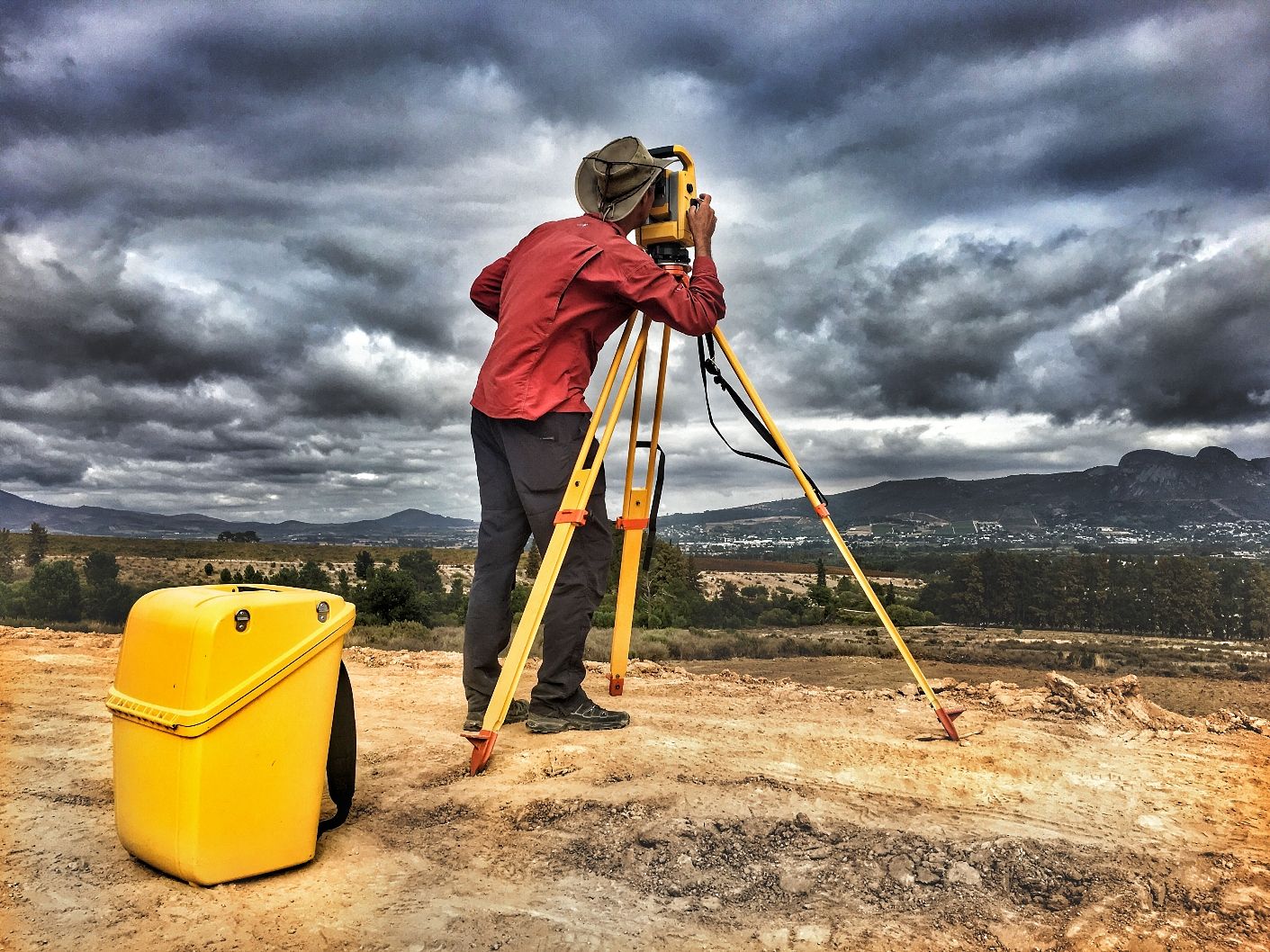
How Are Topographical Land Surveys Conducted?
Topographical surveys require specialized equipment and expertise. The process typically involves several key steps:
1. Planning and Research
Before visiting the site, surveyors review available maps, aerial imagery, and property records to understand the site’s context and define the survey boundaries.


2. Field Data Collection
Using advanced tools, surveyors gather data on the site’s elevations and features:
- Total Stations measure angles and distances accurately.
- GPS Equipment helps pinpoint exact locations.
- 3D Laser Scanners (LiDAR) capture millions of points per second to create detailed surface models.
- Drones provide aerial views and measure inaccessible areas.
Surveyors record the location, height, and description of all relevant features on the land.
3. Data Processing
Collected data is processed using software to create:
- Contour lines representing elevation changes
- Symbols for natural and man-made features
- Accurate measurements and scale drawings
4. Deliverables
Clients receive detailed topographical maps or digital models that can be used for planning, design, or analysis.
Why Are Topographical Land Surveys Important?
Topographical land surveys are fundamental to many projects and industries. Here’s why you need one:
1. Accurate Land Understanding
Knowing the exact shape and features of your land helps you understand its capabilities and constraints. For example, identifying slopes, drainage patterns, or flood-prone areas early can influence project design decisions.
2. Informed Planning and Design
Architects, engineers, and planners use topo surveys to create designs that fit the land, minimizing costly adjustments later. For example, building on steep slopes or near water bodies requires precise knowledge of topography to ensure stability and compliance.
3. Cost and Risk Reduction
By understanding the terrain, developers can anticipate challenges such as earthworks volumes, drainage needs, and potential erosion. This foresight helps avoid unexpected expenses and project delays.
4. Regulatory Compliance
Many planning authorities require topographical surveys as part of the application process. These surveys demonstrate how a proposed project fits within the existing landscape and comply with environmental and safety regulations.
5. Supports Infrastructure Development
For roads, utilities, and public works, topo surveys provide the essential groundwork data that ensures infrastructure integrates well with the natural environment and existing structures.
6. Environmental Protection
By documenting natural features, topo surveys help identify sensitive areas that need preservation or special management, supporting sustainable development practices.
Who Needs a Topographical Land Survey?
Various professionals and industries rely on topo surveys, including:
- Property Developers: To assess land suitability and design site layouts.
- Architects and Engineers: For accurate site planning and foundation design.
- Construction Contractors: To plan excavation, grading, and drainage.
- Environmental Consultants: To evaluate ecosystems and manage impacts.
- Government Agencies: For infrastructure and urban planning.
- Landowners: For property management and landscaping.
What Makes a Good Topographical Land Survey?
The quality of a topo survey depends on:
Experience and Expertise
A skilled surveyor understands the technical aspects and regulatory requirements, ensuring a comprehensive survey.
Technology Use
The best results come from modern tools like LiDAR scanners, drones, and GPS equipment that provide high accuracy and efficiency.
Detailed Deliverables
Clients should receive clear, detailed maps with contour lines, feature symbols, and measurements suitable for their specific use.
Clear Communication
A good surveyor explains findings, limitations, and provides ongoing support as needed.
Conclusion
A topographical land survey is an essential step for anyone involved in land development, construction, or environmental management. It provides a clear, detailed picture of the land’s surface features and elevations, allowing for better planning, design, and decision-making.
By investing in a professional topo survey, you reduce risks, comply with regulations, and set your project up for success from the start. Whether you’re planning a small home extension or a large commercial development, understanding your land is the foundation of every successful project.